From: Boat US News:
It’s over 70 years old, a thin magenta-colored line appearing on over 50 different navigational charts covering the Atlantic Coast and Gulf, snaking along the route of the Intracoastal Waterway. Now, thanks to NOAA’s Office of Coast Survey and a public-private partnership with Active Captain, an interactive cruising guidebook, NOAA will be updating the “magenta line” on all of its newly-issued navigational charts to help keep boaters in safe waters. Boat Owners Association of The United States (BoatUS) submitted comments on the proposal to NOAA, who had initially proposed removing the line entirely. However, responding to BoatUS’ and other boaters’ comments, NOAA will tap into users of Active Captain to update the route in an on-going effort that will benefit the boating community.

The thin magenta colored line marking the Intracoastal Waterway is like a yellow brick road for boaters transiting the East and Gulf Coasts. Credit: Boat US
Boaters may contribute to the updating effort by joining Active Captain at www.activecaptain.com.
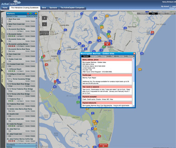
Jeffrey Siegel, owner of ActiveCaptain said in his recent newsletter, “In September 2013, US/NOAA began asking boaters for feedback on the “magenta line” – the magenta colored overlay on US charts showing the recommended route of travel for the various US intracoastal waterways: New Jersey, Atlantic, Dismal Swamp, Florida West Coast, Gulf West, Gulf East, Okeechobee Lake, and Okeechobee Rim. The line first appeared in 1912, saw a major update in 1935, with only rare updates since then. This has caused many tense moments as the real channel has shifted away from the marked channel leaving boaters confused about the correct path. ActiveCaptain hazard markers have helped with those, “what do I do here?” moments.
The feedback from boaters was heard loud and clear by NOAA. They claim that 99.9% requested that NOAA maintain the magenta line rather than remove it.
How will they go about fixing the magenta line?
That was part 2 of the NOAA Coast Survey announcement. They have added ActiveCaptain to their “cartographic toolkit in the chart evaluation system.” Last year NOAA licensed the ActiveCaptain data for internal use. We wrote some custom software to make it easier for the cartographers to use the hazard data you provide to help update charts and fix the magenta line. The first part of the software has been delivered to NOAA for their use.
NOAA approached us because they were already using the hazard data to locate problems but had to manually search on areas of interest to see what needed attention. Now hazard changes are automatically presented to them so they can quickly go through the changes and determine whether additional surveys or chart changes are needed.”